


All EU Member States Use a Romanian GIS Solutions for Nature Conservation Reporting
 Bucureşti, 20 mai 2013 – TeamNet, one of the most important IT&C solution integrators on the Romanian market, is the developer of the application that EU member states use in order to generate and report geo-spatial data regarding the distribution area of species and habitats. By the end of June 2013, member states must report to the European Commission the degree of conservation for species and habitats of community importance, as well as the measures they employ according to The Habitats Directive.
The application generates the area covered by species and habitats within a GIS (Geographic Information System), a technology that allows the creation, storage, analysis and processing of geo-spatial data. The solution, developed by TeamNet, has been integrated in the reporting instrument after a selection between many algorithms submitted by companies from different member states. The beneficiary of the project is the European Topic Center on Biological Diversity, part of The European Environment Agency.
“The fact that we were chosen to contribute to the development of the reporting instrument by the European Union is a clear proof that our expertise in the field of GIS technology is internationally acknowledged and that we are a trustworthy partner. Through the application we have developed we support EU member states to manage their nature conservation efforts more efficiently,” declared Bogdan Padiu, CEO TeamNet.
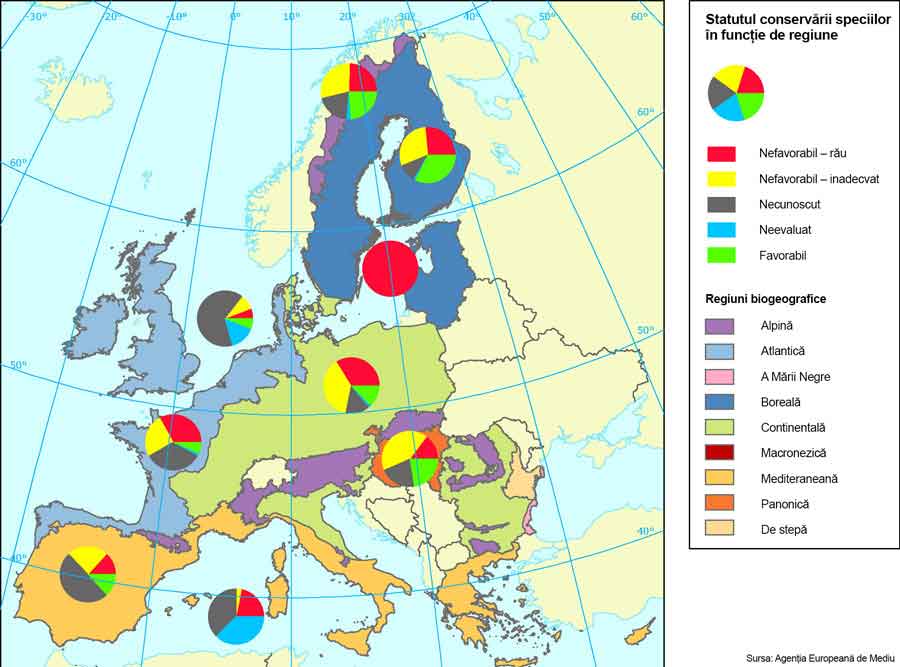
The algorithm was adapted to the requirements of member states and is publicly available. It contributes to the observance of The Habitats Directive, which aims to preserve plants, animals and natural habitats through the establishment of Sites of Community Importance, part of the “Natura 2000″ European network. Under the provisions of Article 17 of the above-mentioned Directive, EU member states must report to the European Commission by the end of June this year the evaluation of the conservation status for the species and habitats of community importance, as well as the measures taken in order to preserve nature. The last reporting session took place in 2007.
The development of this algorithm is one of the over 30 projects employed by TeamNet that use GIS technology. With the help of the GIS systems developed by TeamNet, in Romania, all Natura 2000 sites (over 530), as well as all natural areas (over 900) are managed.
TeamNet has a 5-year expertise in the development of maps and geo-spatial systems in Romania. GIS technology has been used during the past few years in almost all fields of activity. It provides the most efficient solution for rendering data on maps, including the overlapping of several thematic strata (different layers of information), and the connections between databases and their graphic representation.
About TeamNet
With over 12 years of experience on the market, TeamNet is one of the leading IT integrators in Romania, with a diverse portfolio that includes GIS, Big Data and hardware projects, systems integration projects and custom software development for clients in administration, transportation, environment, health or agriculture.
The overall turnover of the TeamNet group exceeded 50 million EUR in 2012. TeamNet was included, for the fifth consecutive year within the Deloitte Technology Fast 50 Central Europe top, which ranks companies depending on their revenue growth rate.
For information about TeamNet, please contact Andrada Busuioc, Manager – Corporate Division, GolinHarris Bucharest, at ABusuioc@golinharris.com or telephone 0745.974.785.